Dragonfly Inspection's operations are fully compliant with Transport Canada's Regulations. Dragonfly Inspection carries insurance and our pilots hold valid Transport Canada RPAS Operations Certificates.
Safe Accurate Inspection is Our Priority
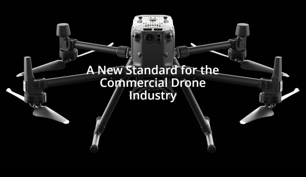
The DJI Matrice 300 RTK has been chosen for it's industry leading safety features. The Matrice 300 RTK platform is designed with extensive flight system and sensor redundancies to maximize flight safety and reliability.
To learn more about Dragonfly Inspection's safety click here.
Here is a showcase of some of the services offered.
If you are looking for something not listed here, feel free to contact us.
Reduce costs by performing efficient inspections to gather critical information to aid in making the correct asset management decisions for your business.
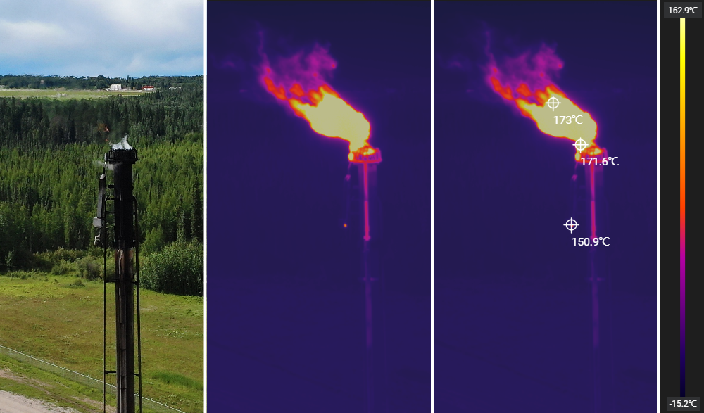
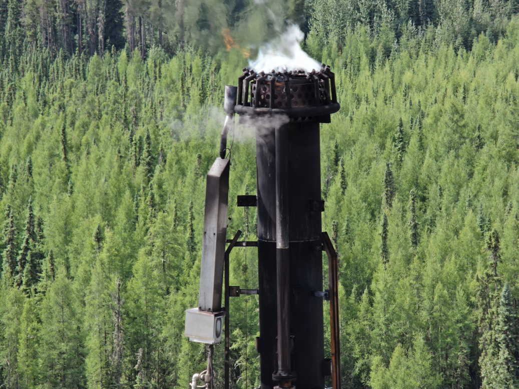
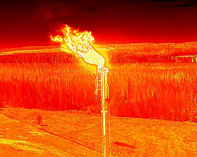
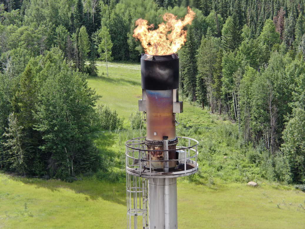
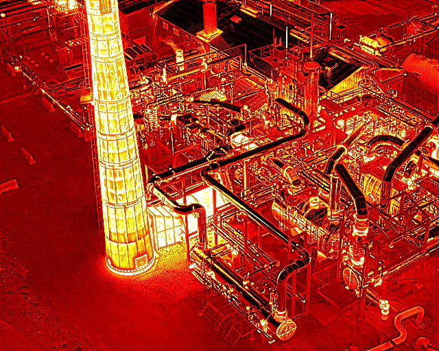
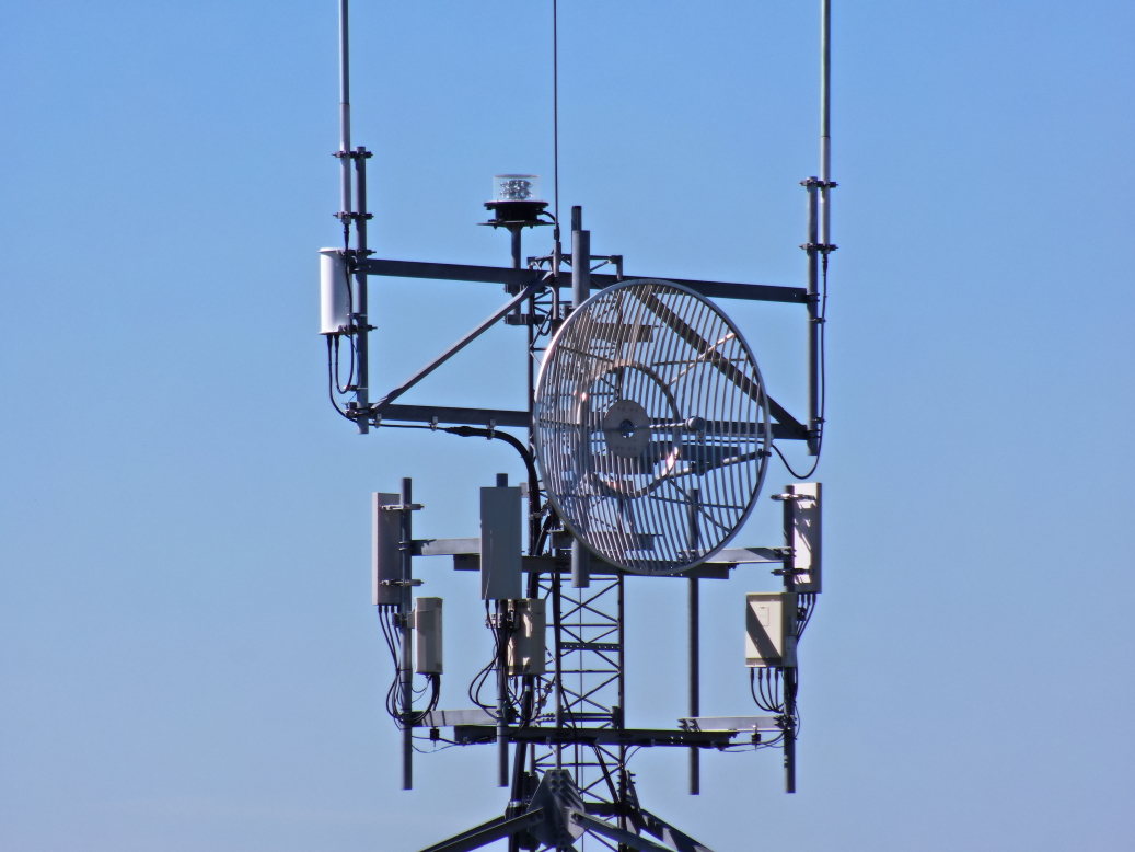
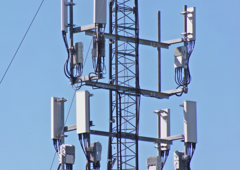
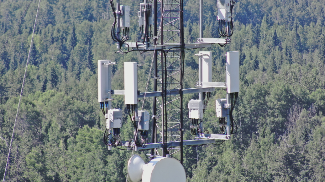
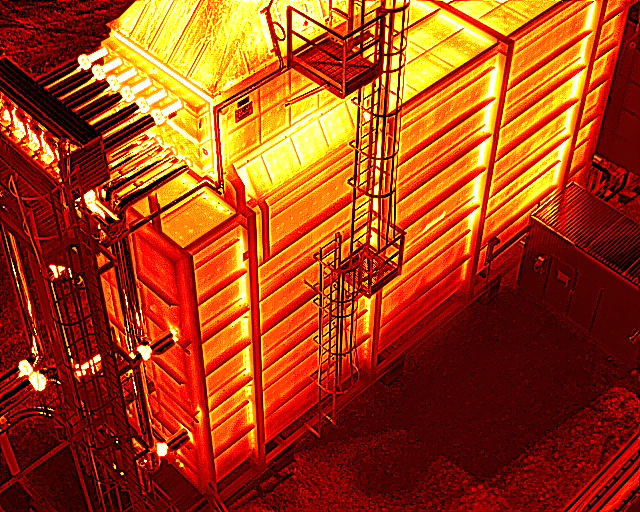
Equipped with a stabilized high powered zoom camera detailed images of your equipment. An onboard Infrared Thermal Camera can uncover information not visible to the human eye.
Flare stacks, Communication Towers, Bridges, Power Lines, Roofing are ideal assets to inspect with a drone.
* Images shown have been reduced in size for web page.
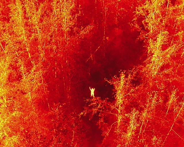
Time is of the essence in a missing persons case. An infrared thermal camera in combination with a high power zoom optical camera can quickly cover terrain and coordinate ground personal.
Equipped with a stabilized infrared thermal camera can uncover information not visible to the human eye.
Hi-resolution georeferenced ortho-mosaic maps provide the details needed to plan your next project.
Overlay high resolution imagery to replace the sometimes poor aerial or satellite imagery in popular mapping programs such as ArcGIS or Google Earth Pro to measure area area distances more accurately.
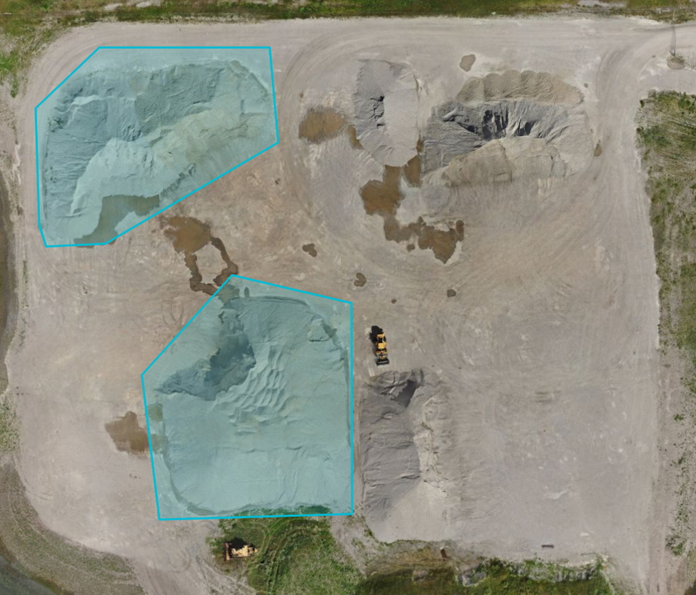
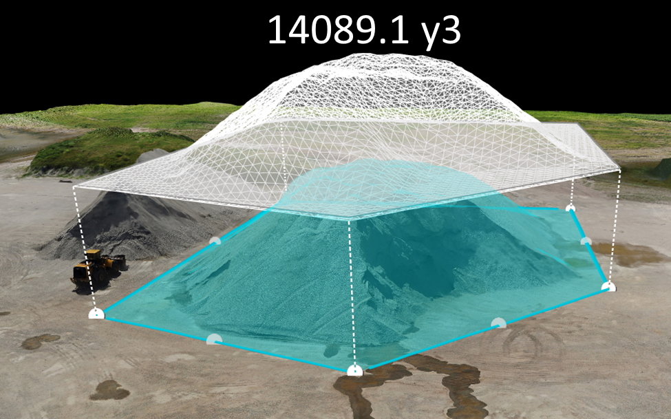
Georeferenced, filtered and classified dense 3D Point Clouds and models allow for in depth analysis of the site. Textured 3D models in .OBJ format. Georeferenced digital elevation models (DSMs and DTMs). Elevation contours available in AutoCAD, ShapeFile and GeoPackage formats. Make volume and area measurements with ease; track stockpiles, calculate cut and fill.
LiDAR surveys are available to analyse areas with dense vegetation. Call or email to discuss the option that works best for you.
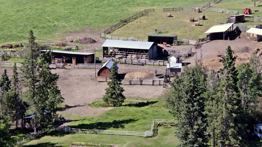
Whether it be your acreage, business, home or anything else you want to capture, Imagery from the air provides a new perspective.
Ideal for real estate or business promotions.
